“Any sufficiently advanced technology is indistinguishable from magic.”
-Arthur C. Clarke
It felt like magic the first time I was able to see 3 dimensions created from only two. A series of aerial images can be stitched together, processed in the cloud, and modeled in three dimensions.
Mind blowing, but not magic. Just a few-dozen over-lapping photos, geometry, and some powerful software. The technique is called photogrammetry.
On this mission, I took 205 photos covering 5 acres – most of it a clear-cut northwest of Portland.
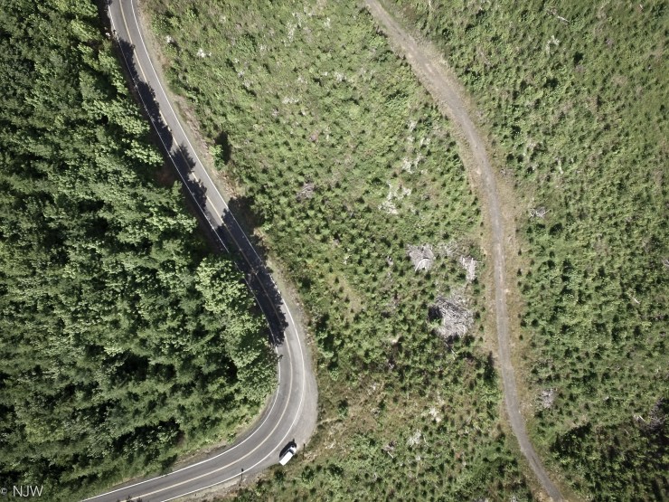
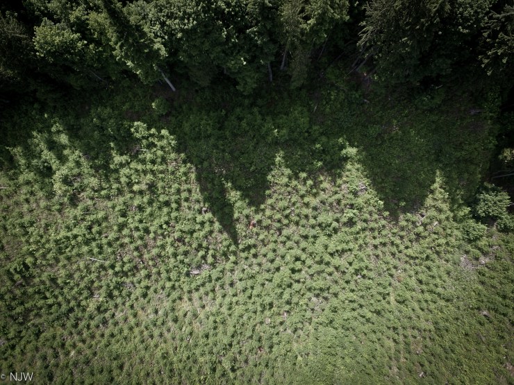
With a drone, and this photogrammetry technique, new perspectives on old places can be gained for various applications.
